Turn Drone Images into
Structured Reports Instantly
Upload your inspection images.
FieldScope analyzes them, maps findings, and generates clear, ready-to-share reports.
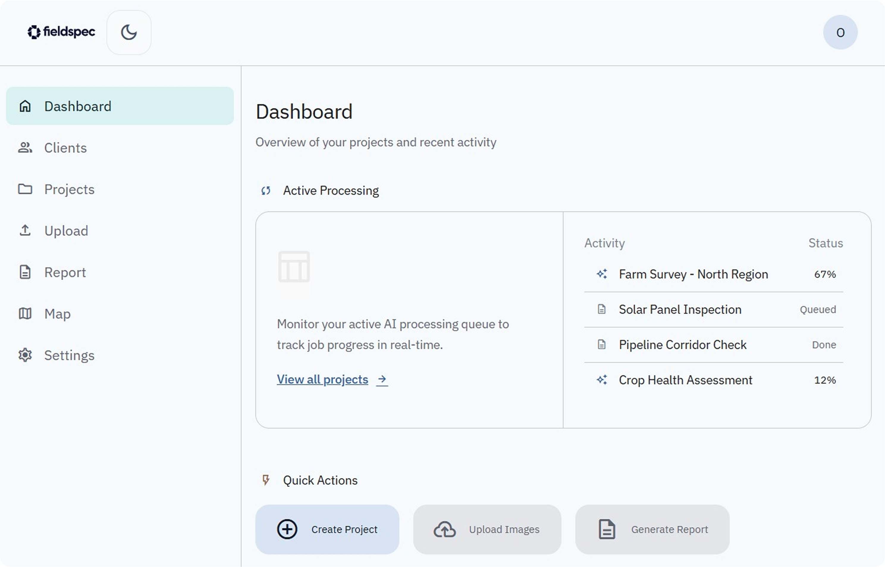
1.
Upload Images
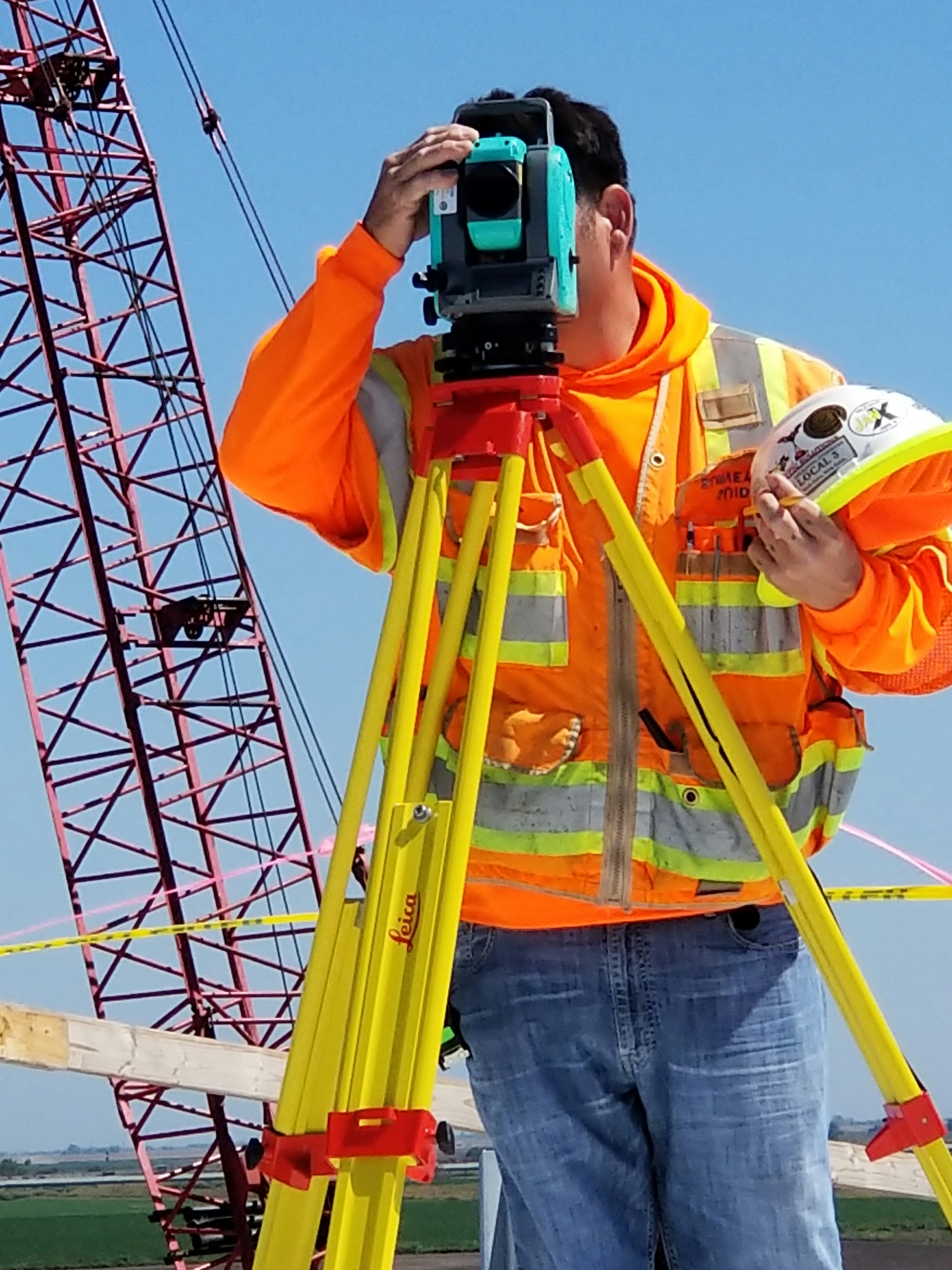
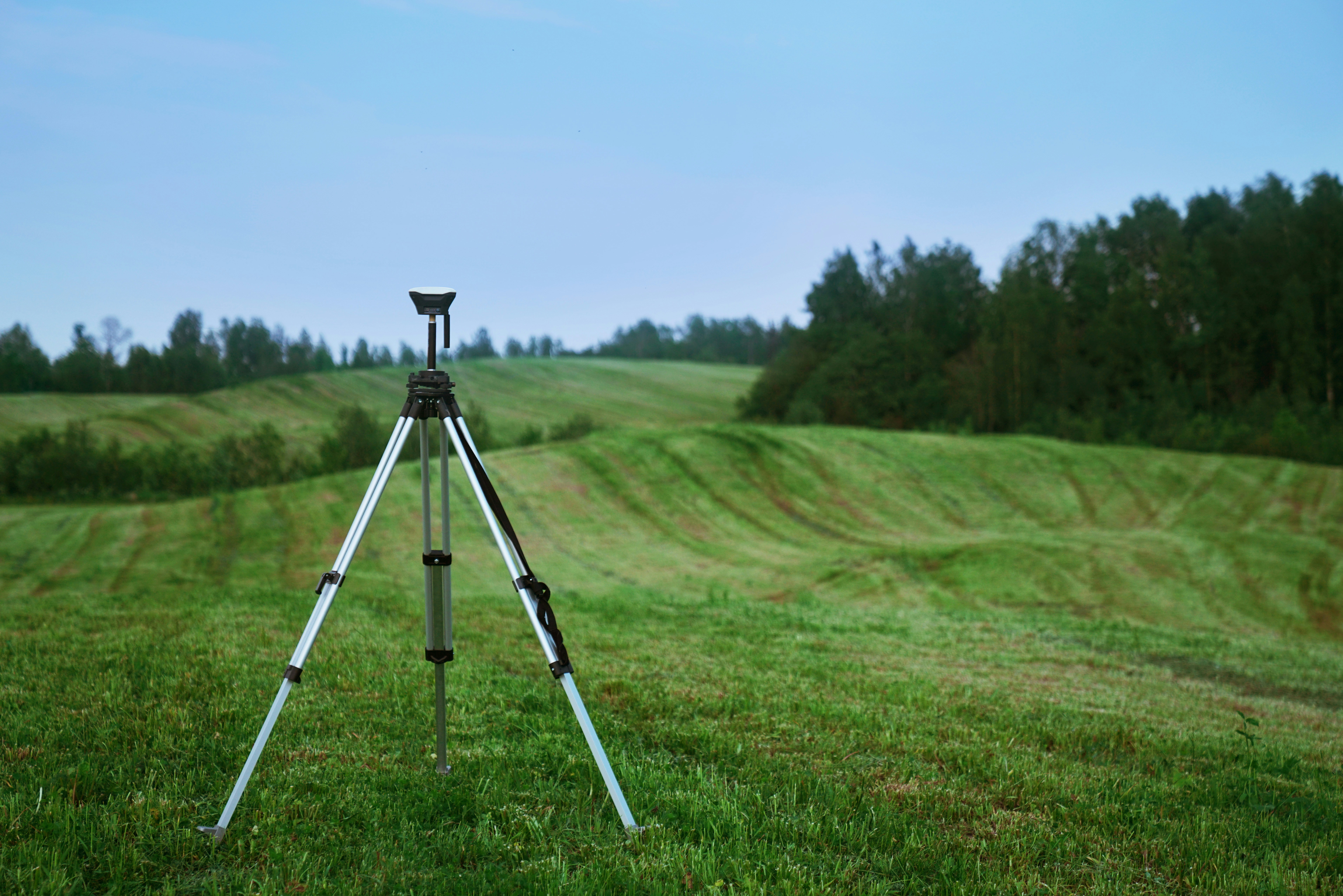
Drag and drop your drone images. GPS data is extracted automatically.
2.
AI Analyzes & Generates Findings
AI detects patterns, flags issues, and generates findings for every image.
3.
Review & Edit
Review findings, make edits, and add your notes.
4.
Export Report
Generate a polished PDF and share with stakeholders.
Who it's built for

Drone Operators
Deliver professional reports to clients faster
Infrastructure Inspectors
Standardize inspection workflows across teams
Field Teams
Organize and analyze large sets of field images
Pricing
Starter
Free
For individuals testing FieldScope.
✓Limited projects
✓Upload and organize images
✓Basic AI-generated report
✓PDF export
Recommended
Professional
$20/month
For active drone operators and inspection workflows.
✓More projects
✓AI captions, findings, recommendations
✓Editable report builder
✓Map with marker review
✓Client management
✓PDF export
Business
$299/month
For teams and agencies managing multiple inspections.
✓High project limits
✓Team collaboration
✓Shared clients
✓Priority processing
✓Custom branding
Need enterprise-level features?
Contact SalesStart generating inspection reports in minutes
No credit card required
Get Started